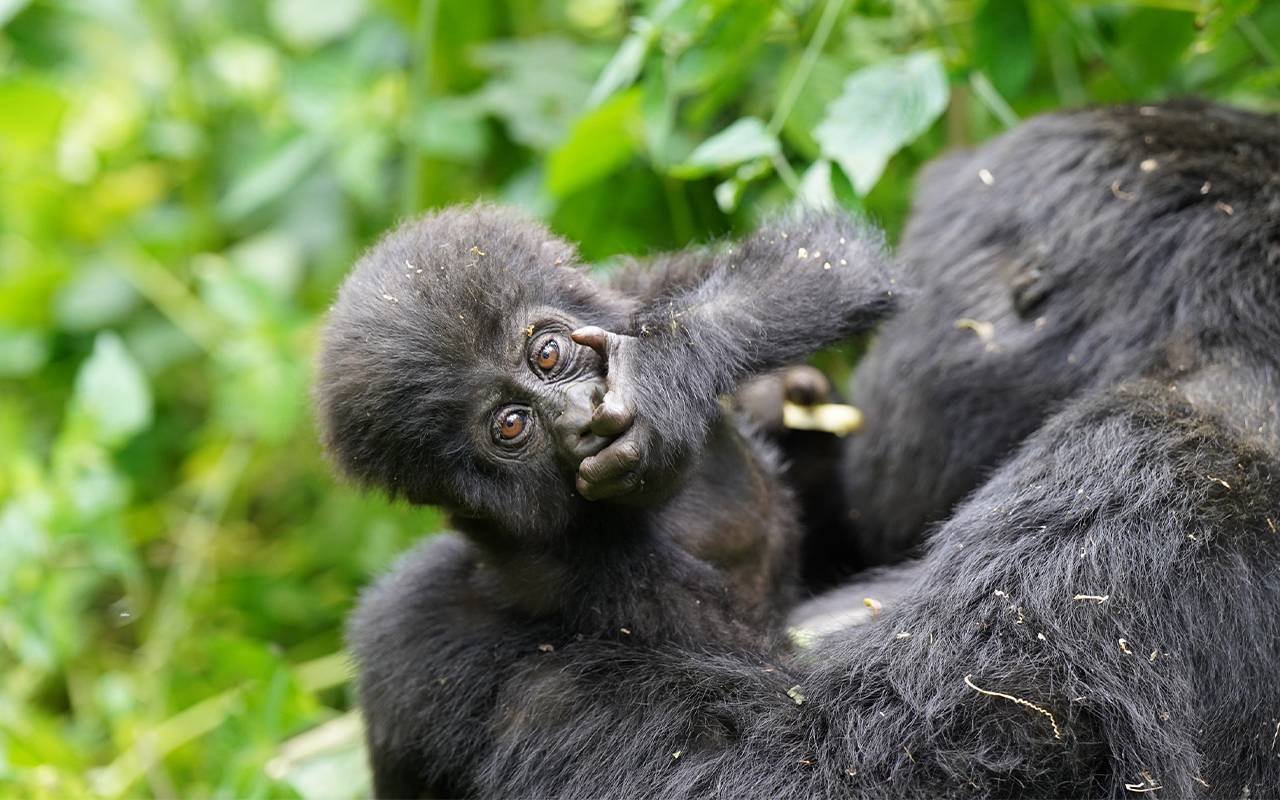
Maps Atlas of the Historical Geography of the United States put travel in the 1800s into perspective. Take a look, your commute might not seem so bad.
Get Started for FREE
Sign up with Facebook Sign up with Twitter
I don't have a Facebook or a Twitter account
![]()
![]()
From
www
Maps Atlas of the Historical Geography of the United States put travel in the 1800s into perspective. Take a look, your commute might not seem so bad. No comment yet.
Sign up to comment
|
![]() Google Maps has added Street View for Miniatur Wunderland, the quirky, high-tech and largest model railway exhibit in the world.
Al Cannistras insight:
not your childhood train setup - WOW! |
HOLY SMOKES - travel times measured in weeks!